Trailrunning Heaven in Utah

My family recently spent some time in the mountains of Utah, hitting two family reunions and some great trails. I hadn't planned on running too much on this trip, but I did pack my shoes and a few running things including my new Ultra Aspire pack (which I love...review coming later).

The trip started on a small ranch in Eastern Utah. I didn't have much motivation to go far those first couple of days. There were fires in the area and running in smoke and ash isn't a very good idea, but I was able to get out for a short stretch every morning. It took some time to adjust from sea level to the mountains.

I did get in a very memorable hike with my sister, Sharlie, who is recovering from her double lung and heart transplant surgery. It is hard to believe that four months ago she couldn't walk up a flight of stairs without stopping for a rest break, and now she is hiking up the sides of mountains at close to 10,000 feet.

The next stop on the family reunion whirlwind tour was Alta, Utah where my brother-in-law's family was generous enough to let us use their lodge (I have a new favorite sister).

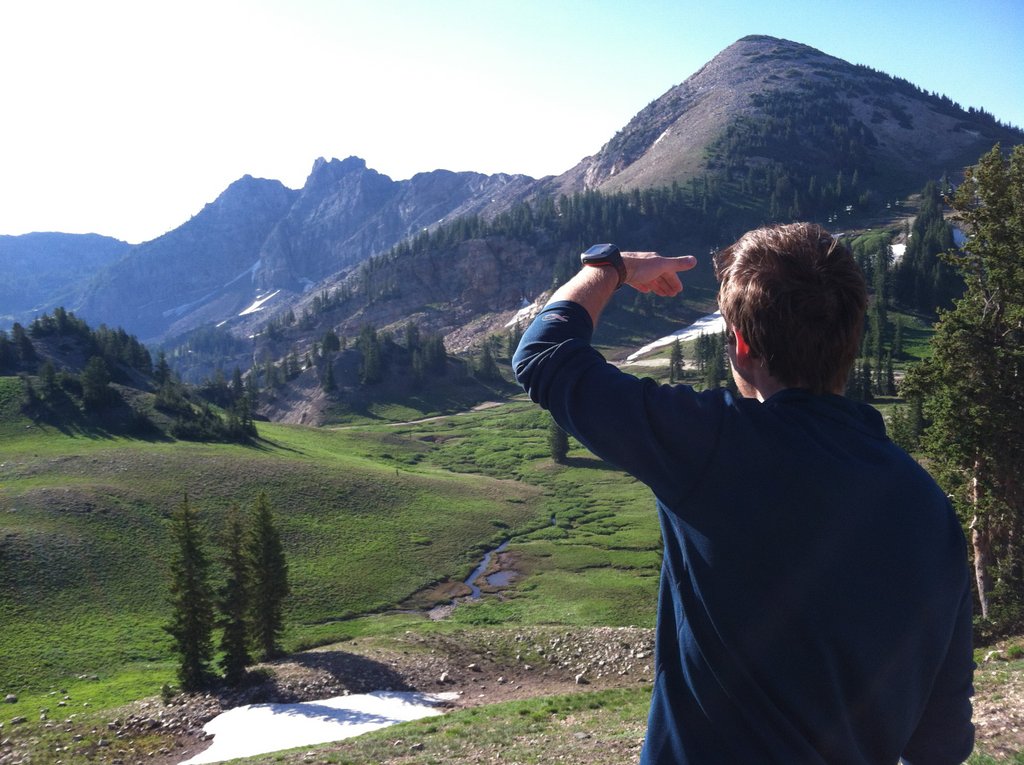
Alta is a resort just above snowbird and the lodge is surrounded by ski runs, pine trees, hiking trails, streams, and singletrack bliss.


Singletrack trails are the veins carved by animals, adventure seekers, and anyone who wants to get a little higher than the roads, pavement, smog and cities. Running in Alta, a small mountain resort above Salt Lake City in the Wasatch Mountains can only be described as a runner's paradise.


I woke up every morning excited to explore new trails. I was usually joined by family members and I enjoyed running and talking with both my brothers-in-law, my sister, my sister-in-law, and a few great runs with my wife. Alta sits at about 8,500 feet and all of the runs went up, some to nearly 11,000 feet. I felt like I was getting my mountain lungs by the time we had to leave.

I didn’t do any huge mileage in the mountains, mainly because I was resting for the upcoming San Elijo Hills Trail Marathon and wanted to hold back al little bit, but also because I was really enjoying the company and chance to run with my family. Most of the runs were in the hour to hour and a half range and most involved a lot of hiking up steep hills (the ratio of time spent ascending vs. descending was about 3:1) which meant running down the hills was a lot of fun. I can't wait to go back.

Thanks for reading. Here are some pictures.


San Elijo Hills Trail Marathon -- Race Report


I could only see about 3 feet in front of my car, the white sheet of fog bouncing the light back in my eyes, and covering everything on the short 5 minute drive from my house to Double Peak Park. Turns out the park doesn't open until sunrise. We parked at the bottom of the hill and hiked the steep, rocky trail to the top, to the start of the Inaugural San Elijo Hills Trail Marathon.

There is a solid group of consistent runners that meet every Monday, Wednesday, and Friday morning between 5:30 and 6 (an email circulates the night before to determine the time and distance). There are about six people who show up regularly to run give or take 6 trail miles while the neighborhood sleeps.

It was on one of these early morning trail runs that I mentioned, between gasps for air, that we could probably string together a bunch of these trails into a marathon. Luckily there were only three of us on this particular run. The voices of reason chose to sleep in that morning, and about three hours, and some fervent typing on Gmap-Pedometer, I had a course mapped out and a Facebook group. I invited some friends, and the group grew, then shrunk when people saw the course and the elevation profile, then grew again.

On the morning of July 7th, 18 of us hiked above the layer of thick fog, I said a few words about the course, clapped my hands and said go. We descended down the steep, rocky hill for a loop that would take all 18 of us on 18 unique courses. At various points on the course, every one of us would get lost, be reduced to a walk, and at some point, curse me. Everyone would marvel at the amazing aid stations, stocked with juicy watermelon, fresh oranges, ice cold water and Gatorade, cookies, rice balls, pretzels, potatos dipped in salt, and vitamin B shots (seriously...syringes) set up by friends, girlfriends, parents, wives, and kids. It was about a 1:1 ratio of supporters to racers, and we all felt very spoiled. The aid stations were so good that it was hard to leave.

Assembling at the top of Double Peak for a beautiful sunrise start


Hiking to the start


How can this not motivate?


Ultraman, Mark Ford, telling us which way where we're going next

The group did a good job of sticking together and looking out for each other. There were a few people that lost the way, but I warned everyone that they would prbably get lost. It was an impossible course to mark, or maybe possible for someone who wasn't so lazy. And, as Carlyn points out, the one specific navigational instruction I did give turned out to be wrong.

These are the boring course details, for future reference, or for anyone who is foolish enough to try to recreate the course. We started at Double Peak Park, ran down the steep, rocky section to the Ridgeline trail, quickly veering off on a singletrack trail (Tent Trail, named for the guy who used to live in a tent here), then another singletrack trail that took us to the microwave tower. From there we descended down the short, steep switchbacks to the Shrek Trail (this is called something else, but my kids always call it the Shrek trail because it reminds them of Shrek's swamp). We crossed the road at Promontory Ridge, then hit the singletrack trail that took us to San Elijo Rd. which we crossed and climbed to La Costa Preserve, then descended the Horned Lizard switchbacks, went through a beautiful connector trail then behind the old dump and climbed to the water tower. We circled the water tower, then descended into Elfin Forest. We ran through Elfin Forest to the back side of the Elfin Forest Preserve connecting to the Equine Incline Loop, then down the Way Up Trail, crossed the street to the jeep trails to the East of San Elijo Hills. We ran down Atterbury Rd., crossed over to the Twin Oaks trailhead, then ran the Lakeview Trail to Double Peak Rd., ran halfway up Double Peak Rd., then ran the Secret Trail to the back side of Double Peak, finishing with a hands on the knees ascent to Double Peak Park. We ended up running between 25 and 27 miles with about 5,000 feet of elevation gain.

Unmarked, unsanctioned


Yes, that is a skull hanging on a tree


This event encompassed everything that I enjoy about running right now. Close friends sharing a trail, some struggle, some pain, a challenging course on a variety of terrain, a makeshift paper-towel finish line, and a celebration with friends and family at the end.


This is how legs should look after a good trail run

My new favorite race shirt
I couldn't have asked for a better day, or a better group to share this run with. I also realized that I have no business being a race director, but I can't wait to do this "race" again next year, hopefully with many of the same people, discovering new ways to get lost on the trails of San Elijo Hills.

San Jacinto and San Gorgonio

I haven't had the urge to write much lately. I'm hoping it's just a slow patch, or maybe I'm just not doing enough cool stuff. So, this post is mostly pictures of the last two weekends.


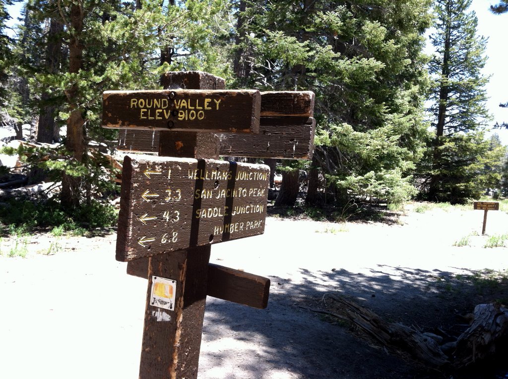
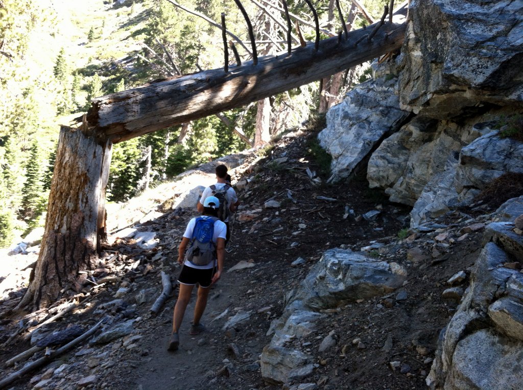
On Father's Day I decided that San Diego was just a little too chilly at 70 degrees, so we decided to head to Palm Springs for an overnight trip. It was 112 in town. We took the tram up to Mt. San Jacinto and while the kids hiked, I took off on a trail run. The weather up top was 65 and the trails are beautiful up there. If you're ever in the area and have a chance to ride the tram, don't pass it up. Especially if you have kids. That ride is better than anything at Disneyland. The family hiked while I ran for about an hour and wished I had given myself enough time to reach the summit, but I told my wife I'd be back in an hour and I didn't want to run into any Search and Rescue operations on the run back down. I made it a little past Round Valley Campground before I reluctantly made the turn.

Last weekend Sanam and I joined Jess and Nata (you may remember them from such hits as Cactus to Clouds) for a climb up to the top of Mt. San Gorgonio. It was another beautiful day and we all made the trip to the top of Southern California's highest peak (11,500 feet). The women led the way and it was nice to not have to hike behind Jess for a change.

Sanam and I have talked for years (ten to be exact) about being able to run together again, and we took full advantage of some of the runnable descents to smile, stumble and run down the mountain together. Our kids are getting to the age where we can leave them with a sitter and spend the day frolicking naked running in the mountains together. I hope that they appreciate this now, because very soon we'll be dragging them on these running adventures whether they like it or not.

Overall, it was a good couple of weeks of mountain training and I'm looking forward to another attempt of the 8,000 Meter Challenge (Baldy, San Jacinto and San Gorgonio in the same day) next month. I also signed up for the Cuyamaca 100K in October and I'm really excited to get back out to the Cuyamaca and Laguna Mountains to train. I see some more family day-trips in our future.

Breakfast of Champions

Riding the tram to the top

Stupid happy trail face


My tree-hugger

Beginning of the Gorgonio ascent


Running down with my wife

Seriously, the best Mexican food ever except for Mexico, but I wasn't hiking up mountains there, so this probably tops even Mexico Mexican food from Mexicans.
Thanks for reading.

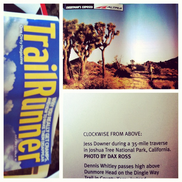
Bonus picture: a shot I took on our Joshua Tree trip made it into this month's Trail Runner Magazine. I love that magazine.


Ratings and Recommendations